If local pickup is selected, be sure to check your order confirmation before you visit the store!
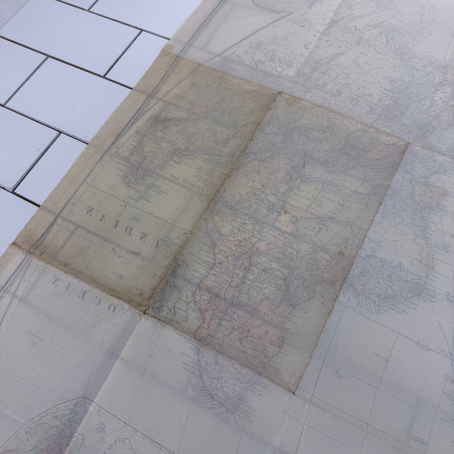
Explore a fascinating snapshot of the world in the aftermath of World War I with this original 1922 National Geographic Society world map, prepared especially for The National Geographic Magazine under editor Gilbert Grosvenor and published in Washington, D.C. Titled The World, this large folding map uses the distinctive Van der Grinten projection and documents the dramatically altered political geography of the early 1920s, including national boundaries reshaped following World War I and the breakup of the German, Austro-Hungarian, Ottoman, and Russian empires. Detailed cartography is complemented by polar and hemispheric inset maps, international boundaries, transportation routes, cities, and geographic features, creating an exceptional period reference for collectors of antique maps, National Geographic memorabilia, and post-WWI history. Designed to fold compactly for storage, this century-old map remains in good antique condition with toning, creasing, and minor wear consistent with age and use.